- First decision
- Route length, exposure and the group's ability
- Useful starting point
- La Oliva's official trail catalogue
- Essential habit
- Download the route and set a turnaround
Choose a walking experience before a route name
A short landscape stroll, a crater viewpoint and a longer coastal route need different preparation. Start with how long the group wants to be on its feet and how comfortable everyone is with uneven ground, exposed viewpoints and limited shade.
The official La Oliva trail catalogue includes routes around Calderón Hondo, Bayuyo, Malpaís de la Arena, Montaña Escanfraga and the coast. Use the individual route information to compare demands rather than assuming every walk in the north is easy.
| Experience | Good planning question |
|---|---|
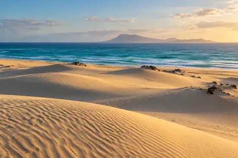
| Dune walk | Can everyone manage the return on soft sand? |
| Volcanic viewpoint | Is the ascent and exposed ground suitable? |
| Lobos route | Does the walk fit authorization and return sailing? |
| Village-to-village route | How will you get back from the finish? |
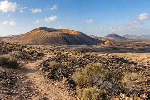
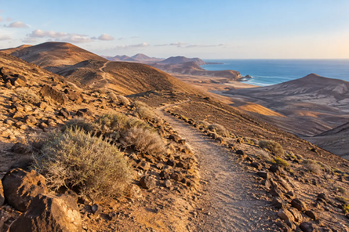
Use Calderón Hondo as a defined volcanic option
The official Calderón Hondo circuit is listed at approximately five kilometres with 160 metres of ascent. It provides a clear starting point for a modest volcanic outing, but the full route should not be confused with shorter approaches found online.
Read the Calderón Hondo guide for planning details. Keep the published map and starting point together, add time for stops and do not assume that a low difficulty grade removes exposure or uneven footing.
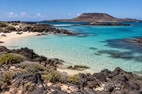
On Lobos, the boat is part of the route
Walking on Lobos needs both the visitor authorization and transport planning. Your route is only useful if it fits the permitted visit and allows a comfortable return to boarding. Decide your turnaround before setting off.
Carry what you need for the visit rather than relying on supplies halfway around the island. Keep optional detours genuinely optional. If the group is moving slowly or conditions are harder than expected, shorten the walk instead of sacrificing the return margin.
Plan for sun, wind and the ground underfoot
Open terrain can mean long periods without shade. Carry enough water, use sun protection and choose clothing and footwear for the forecast and surface. Loose volcanic ground and soft sand can be more tiring than the same distance on a pavement.
Check the forecast shortly before departure. If heat, wind or other conditions make the intended route unsuitable, choose a shorter option or an indoor cultural stop. The weather guide helps you think about a flexible holiday, but the day's local conditions are what matter for the walk.
Respect protected places and different kinds of access
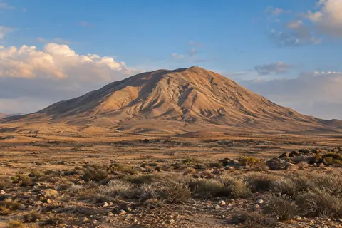
Tindaya is not a substitute for an ordinary recreational summit walk: ascent without heritage authorization is prohibited. Other protected places also have permitted paths and areas that should not be entered.
Stay on approved routes, leave stones and plants, take rubbish out and do not feed wildlife. Avoid creating cairns or following informal shortcuts. These choices protect habitats and also reduce the chance of finding yourself on unstable or restricted ground.
Make the walk work for the group
Pick a route for the person with the least stamina or confidence, not the keenest walker. Bring food and allow rest stops. With children, supervise closely near drops and make the return plan clear before tiredness sets in.
For mobility requirements, check the actual surface, gradients and barriers rather than a destination's general accessibility claim. A shorter, comfortable walk followed by time in the inland villages may give everyone a better day than completing a more ambitious circuit.
Keep coastal walking separate from wave watching
On a coastal route, maintain a safe distance from breaking waves, cliff edges and places that can be cut off by water. Do not step onto a risky ledge for a photograph because the path itself appears straightforward.
If weather deteriorates, turn back while you still have a manageable route. A coastal walk should not become an unplanned scramble along rocks. Check local warnings and use another activity when the coast is under rough conditions.
Questions worth asking
What is a good first volcano walk near Corralejo?
Calderón Hondo has an officially described route and is a useful option to investigate. Check the full route and conditions against your group's ability rather than relying only on its low difficulty label.
Can I follow any route I find on a walking app?
No. Check official access and signs. A mapped track does not prove permission, and some places, including Tindaya, have specific restrictions.
Can I do a long walk on Lobos?
Choose a route that fits the authorization, the group and your return boat, with a generous margin. The sailing deadline should influence the route from the start.
Official sources & further reading
Check the linked operator or authority for current access, timetables and conditions before you go.
- La Oliva Tourism: routes and walking recommendations
- Fuerteventura Tourism: Calderón Hondo
- Cabildo de Fuerteventura: Tindaya authorization requirement
- Canary Islands Government: coastal and sea safety